
Climate-friendly to St. Anton am Arlberg in the Nightjet
Comfortable, congestion-free and climate-friendly journey with the ÖBB Nightjet. Now in an attractive combination ticket incl. ski pass.
The ski tour Watzespitze starts in St. Leonhard in the district of Plangeross. First follow the steep summer trail through the path to the Plangerosser Alm. Now the trail continues flatter through the Plangeross valley. At an altitude of 2171, the next notable ascent follows. It is best to stay on hiking trail 927 and reach flatter terrain again below Karlesegg.


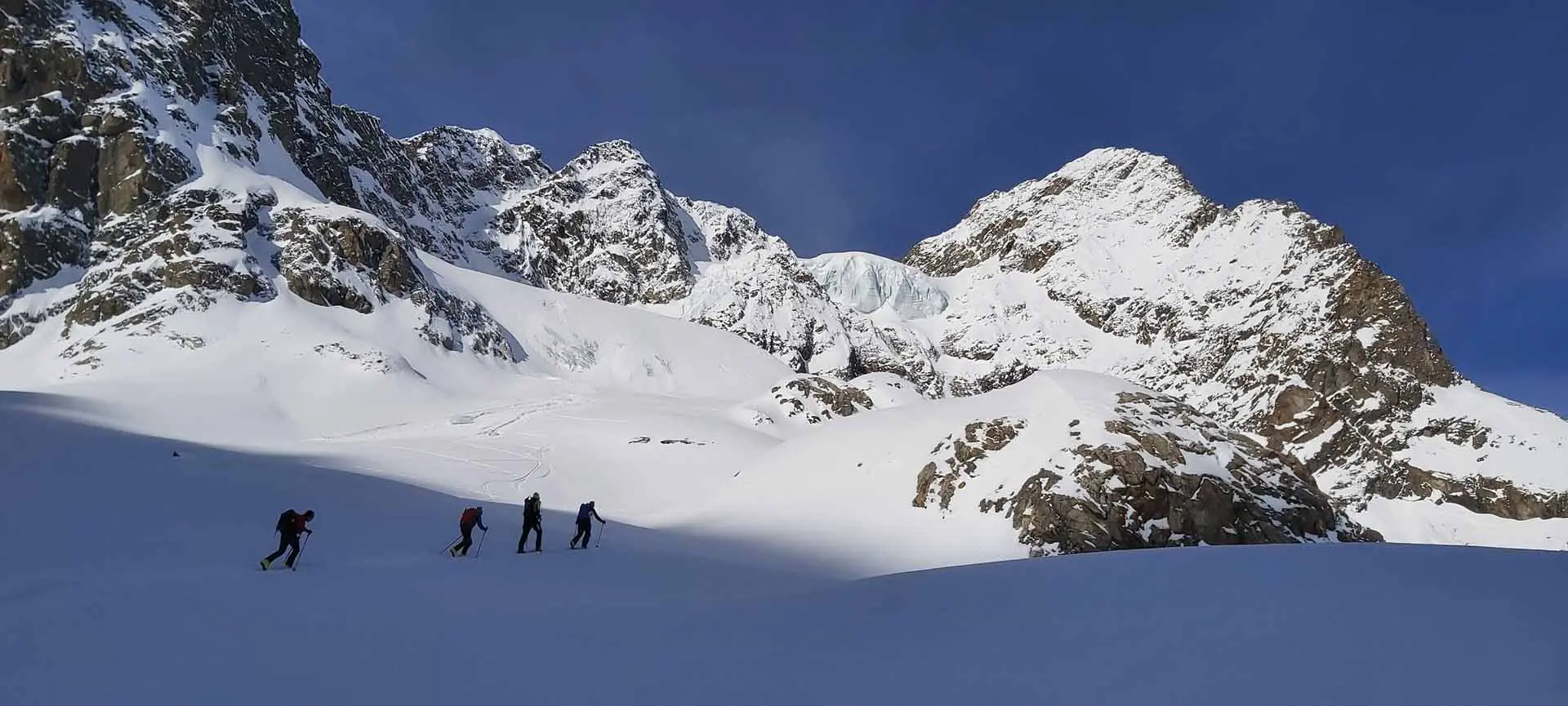
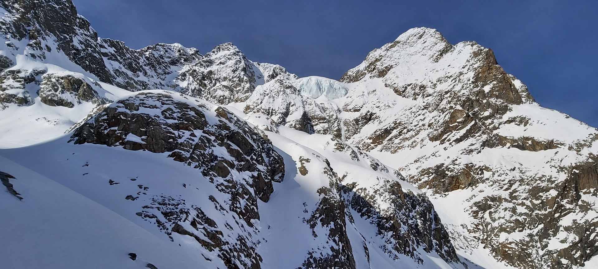
The mighty hanging glacier already gleams in the distance, at the southern edge of which a steep passage to the upper glacier plateau is possible. In a wide left turn we head for the glacier bulge.

Via a more than 35 degree steep ascent past the glacier bulge we reach the upper glacier plateau. Here, crampons may make sense or are even necessary if the section is bare and has to be mastered on foot. Now the extremely steep (>40°, only in safe conditions!) ascent to the saddle at 3432 is still to come. There, the ski depot is usually set up and the climbing on the southwest ridge begins. First on the west side over boulder terrain, later on the east side it continues over exposed terrain in stimulating climbing (II). You then traverse a 60-70 m wide flank, which is not a problem when there is snow on the ground. There are belaying possibilities when heads are peeking out of the snow. Then climb back up to the ridge and reach the summit cross without difficulty. It is also possible to stay permanently on the ridge. However, the climbing is more difficult.
The Descent takes place on the ascent path. In good conditions, a descent from the ski depot through the gully is possible - caution, stones!
Subsequently, there are various Departure possibilities through the Plangeross valley. At the end, if there is enough snow, you can ski down over the waterfall instead of through the forest and get back to the starting point in Plangeross.
Comfortable, congestion-free and climate-friendly journey with the ÖBB Nightjet. Now in an attractive combination ticket incl. ski pass.

Ski touring in Norway is something special. 5 reasons why it should definitely be on your to-do list.

Multiday Ski Tours Austria - Tips for Wonderful Ski Crossings

What should I take with me on a multi-day ski tour? View our packing list now.

Determine ski level with the classification criteria of the Austrian Ski School Association (video).
No comment yet, add your voice below!